Albania is a small country with an area of 28,748 square kilometers.
It is located in the western part of the Balkan Peninsula in southeastern Europe. It borders with Montenegro and Kosovo in the north and northeast, Macedonia in the east and Greece in the south. In the west, the coast of Albania rests on the Adriatic and Ionian seas.
The Adriatic Sea separates Albania from Italy through the Strait of Otranto (72 km). Much of Albania’s surface is mountainous, with an average altitude of 708 m, and its highest peak, Mount Korab on the border with Macedonia, is 2,753 m. Most of the population lives in the south-central lowland and along the coastal plain.
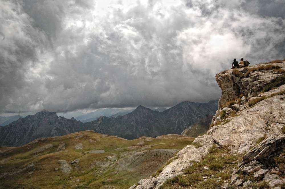
Albanian Alps – Mount Korab
Albania is located in the subtropical zone and has a Mediterranean climate with relatively short and mild winters and hot and dry summers. Albania’s climate is very different from one region to another with great contrasts in terms of temperature, rainfall, sunshine, air humidity, etc. Annual rainfall averages 1430 mm per year, decreasing from west to east.
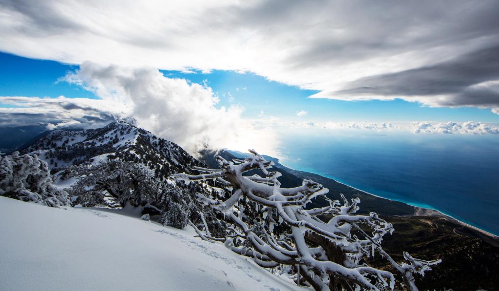
Mount Chika, Logara – Vlora.
The Ionian coast is very rugged, with rocky coves along a narrow coastal strip and steep slopes rising straight out of the water for most of its length. The highest point in this area is at the Llogara Pass, at over 1,000 m. Geological activity and erosion have created many caves at the foot of these cliffs, some of which have been inhabited since prehistoric times.
The Adriatic coast is low-lying, with large sheltered bays (for example, Vlora and Durres), which have been used as harbors since ancient times. The rivers flowing into the Adriatic have formed fertile alluvial plains in these lowlands, and at their mouths – extremely rich wetlands, where many waterfowl and migratory birds live.
Albania also has a number of lakes. The most significant are:
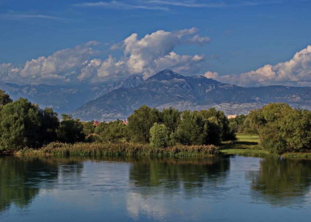
Buna River, Shkodra Lake – Albania
Lake Skadar is the largest lake in the Balkans, crossing the border between Albania and Montenegro. It is relatively shallow and is fed by many rivers as well as springs, making it quite diverse in aquatic life, with different species of carp and trout.
Lake Ohri – Pogradec – Albania
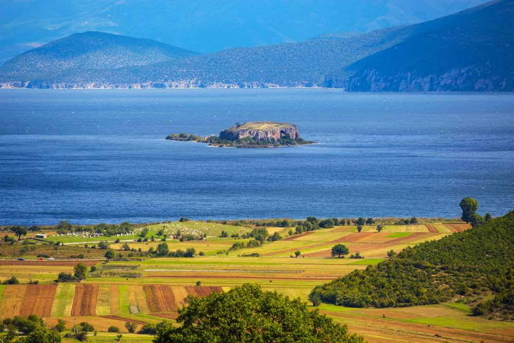
Lake Ohrid is shared between Albania and Macedonia and is located in the southeastern part of Albania. Around the coast there are a number of tourist areas such as Lin, Poysk, Pogradec, Tushemisht and Drilon. It is very deep and feeds mainly from springs at the edge of the lake and at its bottom.
To the south of Lake Ohrid lies Lake Prespa, distinguished by loneliness and beautiful views. Very important populations of Dalmatian and white pelicans are found in this lake. Lakes Ohrid and Prespa are between two and four million years old and have unique fish species, including the Ohrid trout and whitefish.
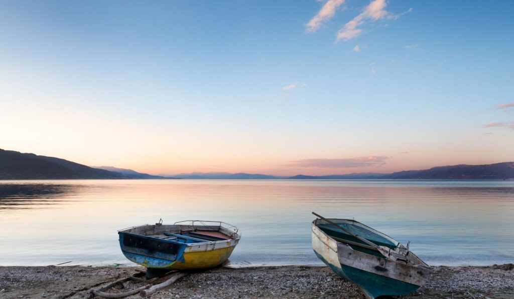
Albania is a country rich in rivers . There are many rivers in the country, originating in high mountains and passing through steep gorges before reaching the plains and making their way to the sea. Most of the major rivers are actively managed, usually for power generation. Albania has nearly 450 km (280 miles) of coastline, with the Adriatic running from the Montenegrin border south to Vlora Bay where the Ionian Sea begins.
The rivers create numerous valleys with amazing views and offer opportunities for the development of water sports. Mention should be made here of the Osum Canyon in Chorovod, the Gradets Canyon, also along the Osum River, the Kelcira Gorge on the Vyosa River, the Bencha Canyon in the Kurveles region, the Valbona and Shala valleys in the Albanian Alps, the Tomorriche Valley and the Skorana Gorge. You will also find waterfalls with great views, such as Grunas in Tete in the Albanian Alps, Shoshan in the Valbona Valley, Kokotraf waterfall in Konipol, Progonat waterfall in Kurveles, etc.
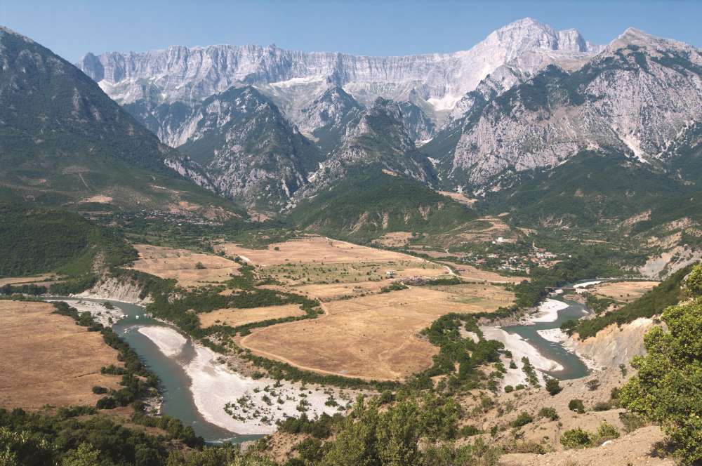
Viosa River – Albania